

This is one of the walks from Andrew Duncan's Favourite London Walks and follows the path of the former Fleet River in London from Kings Cross to Blackfriars. The Fleet although once a major river in the capital has been buried underground since the 18th century, having become more or less a sewer. I passed its source by the lakes on Hampstead Heath while walking the Green London Way, but even up there it is underground. The first of two London walks I am doing to take advantage of the special fares for seniors at South Western Railways on offer in October.
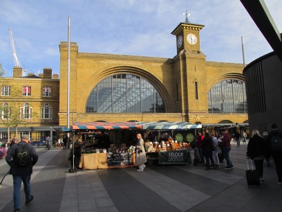
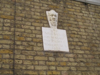
So out of the tube at Kings Cross, down a couple of narrow lanes, and into Kings Cross Road. Here we follow the route of the Thameslink railway which uses the Fleet valley as it's route. A little further on I passed the site of the old Bagnigge Wells, now remembered by a plaque on the wall of one of the houses. Bagnigge House was associated with Nell Gwynn, mistress of Charles II.
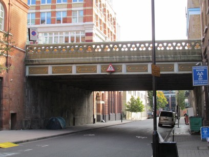
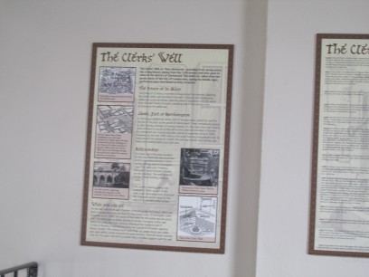
Turning off King's Cross Road the route passes Mount Pleasant sorting office, now a huge building site for new flats, and the Postal Museum opposite. This whole area is in development. Then under a bridge carrying Roseberry Avenue over the river valley. Coming into Farringdon Lane is the City Pride pub, and it is suggested you can hear the Fleet running below at one of the gutters. Next to this is the site of Clerk's Well at Well Court. Plaques through the window tell the story (not easy to photograph) and an exhibition may be viewed by appointment.
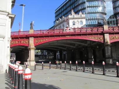
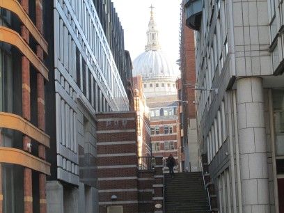
The route continues into Saffron Hill, with steep steps at the end out of the valley, past Farringdon Station and down to Smithfield Market, itself being redeveloped at the moment. Blood and entrails from live animals was one of the sources of the pollution in the old river. Then Holborn Viaduct across the valley, I climbed the stairs for the good views down.
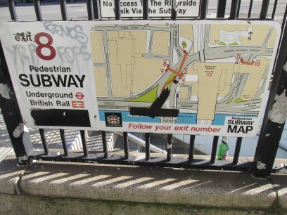
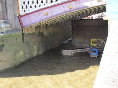
Below the viaduct Farringdon Street and then New Bridge follow the route of the river past Ludgate Circus. This was one of the first parts of the river to be covered, starting in the 1730s. The river joins the Thames in a drain outlet right under Blackfriars Bridge and this can be seen at low tide. But at the moment because of construction work for the Thames Tideway sewer this whole area and the suggested subway access is closed off to the public. I tried the other side of the bridge. it would be the other side of the big barrier they have put there.
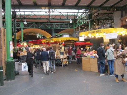
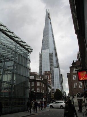
After a nice lunch in the Anchor near London Bridge I had a wander round through Borough Market which was a hive of activity and past the Shard, where for a little money I could have gone up to the viewing gallery, but did not. A pleasant if rather tiring day up town.
Following the guidance in David Fathers London Hidden Rivers I explored the upper reaches of the Fleet, starting with the western one from Hampstead Heath Ponds down to Kings Cross. The journey to the start was not without its problems as after a smooth journey up to London the Northern Line train I was on ground to a halt at Euston with a points failure ahead at Camden Town. After a few minutes sat waiting with no prospect of progress I worked out an alternative route and headed via the Victoria and London Overground lines to Hampstead Heath station rather than Hampstead that I had planned. I reached the Heath opposite Wells Walk by a different route at around 11am, a bit later that I should have done.
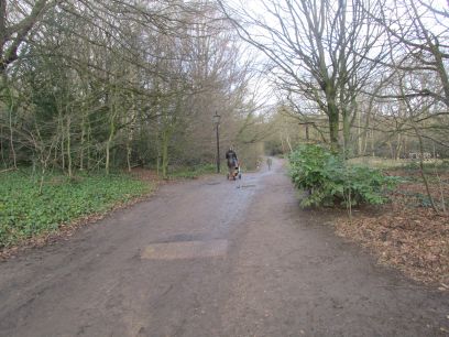
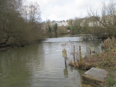
So on to the Heath and northwards towards Vale of Health pond, the source. Fed by springs it was originally an area of bogland and made into a lake in the 18th Century to provide London's water supply. The Vale of Health estate is behind.
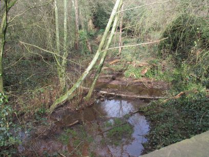
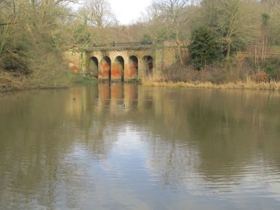
The guide book suggested that the paths in the Heath might be muddy and fairly steep and after heavy rain the day before they indeed were. So it was not possible to see much of the Fleet rivulets running between the lakes. Here is one by Bird Bridge at the top of Viaduct Pond. This is named after the large viaduct erected by Sir Thomas Maryon Wilson in 1829, part of his proposal to build a huge estate there which never happened so now is little more than a folly but no doubt would have been very suitable for a railway heading that way.
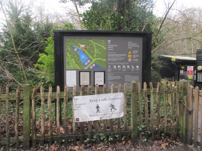
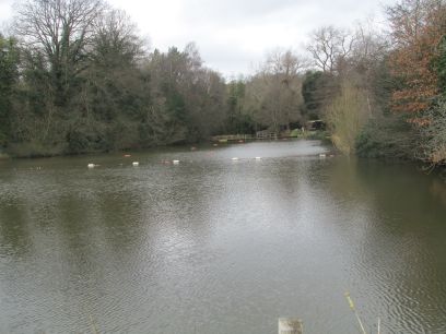
More muddy steep tracks through the woodland brought me eventually to the first of three larger ponds. This is the Mixed Bathing Pond which although closed during the winter months is very popular in the summer and an established part of the Hampstead Heath culture.
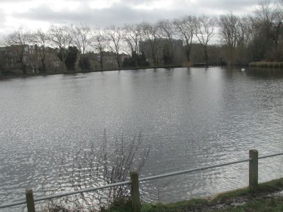
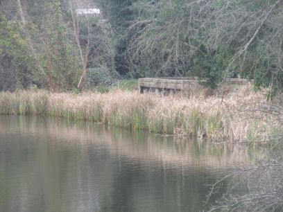
There are dams between the three ponds with pedestrian walkways over them. The third and largest of the ponds is No 1 Pond (there was originally a No 0 Pond roughly where Hampstead Heath overground station now is) and is the last. The Fleet is seen disappearing under the reed overgrown culvert at the far end never to be seen again until it emerges at the Thames. And when the work on the Thames Tideway is completed it won't even be visible there as it will be linked out of sight directly into the new sewer.
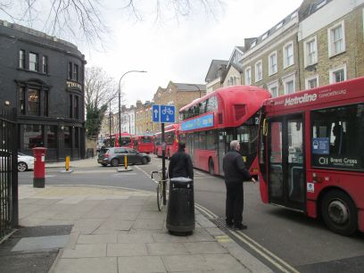
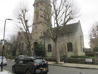
Out of the Heath and past Hampstead Heath station again into busy Hampstead. Fleet Road, not to be confused with Fleet Street so named for the same reason, is far from fleet this morning. I passed the culprit, a broken down bus with the frustrated driver throwing away his cold coffee and a long line of equally frustrated bus and car drivers and their passengers behind. It looked as if this would take a while to sort out. The route continues through London suburbia all the time weaving to and fro along the route of the unseen river below. First a small park area, Lismore Circus, then St Martin's church in Gospel Oak.
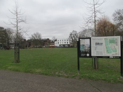
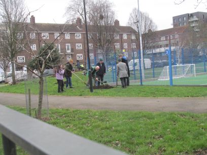
Talacre Gardens, with the Fleet running through it, is a fairly recent development, replacing former terraced houses. Then a small sports ground off Clarence Way where there was a big tree planting ceremony taking place with photos being taken so I took one as well.
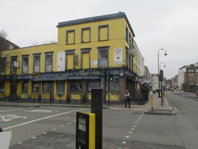
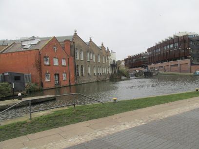
Quinn's pub marks the point where the western and eastern branches of the Fleet meet. It looks pretty desolate outside but is apparently still open. Shortly afterwards the Regents Canal is reached. The combined Fleet flows underneath the canal in a conduit added when the canal was built.
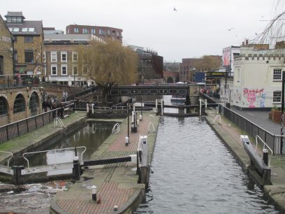
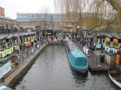
I had not decided where to lunch but as it was that time took the opportunity to divert to Camden Lock and ate at the Wetherspoons there which I have eaten in before. The market was certainly busy, a lot was happening there and a great sense of atmosphere. Suitably fed I walked the route along the canal to the Royal College Street bridge.
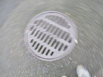
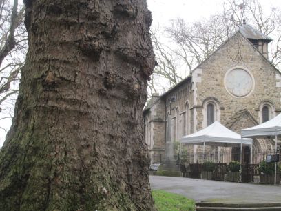
The river flows along Royal College Street and just off it is a grate where I could hear, but not see, the Fleet flowing beneath. Royal College Street leads into Pancras Road, still with the Fleet alongside, and then underneath St Pancras station. St Pancras Old Church just before the station dates from the 7th century or even earlier although the present building is much newer. At Kings Cross I had reached where I had started last time so ended the day there. The weather was starting to turn but it had been another enjoyable day.
The eastern branch of the Fleet starts near Kenwood House on the eastern side of Hampstead Heath. Kenwood House is quite some way from a tube station but I worked out a reasonable 15 minute walk through the streets from Highgate tube.

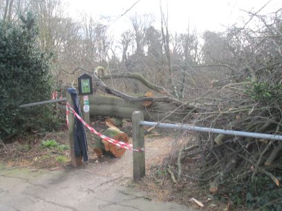
After the disaterous storms the previous weekend the trains had recovered and I had a pretty smooth journey up to London. A strange creature seems to have arrived on the concourse of Waterloo presumably to keep the kids happy in half term. I arrived at Highgate tube station (with the now abandoned platforms of the former surface station visible from its entrance hall) around 1045 and made my way to Hampstead Heath. My planned entrance was blocked by a huge tree, no problem, go to the next entrance a bit further along the road.
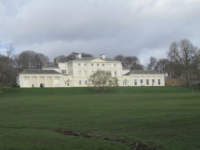
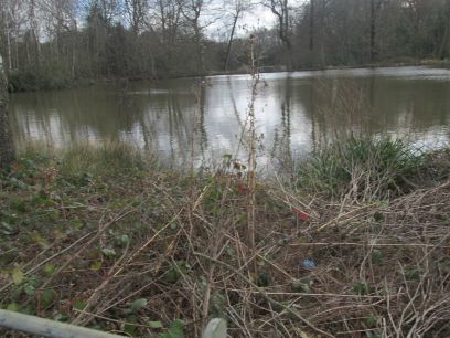
So arriving at Kenwood House I made my way across the adjacent meadow. The small rivulet seen here is one of several which feeds Wood Pond, the first of the Highgate ponds on the Heath. These ponds were created in the seventeenth century from the at that time Highgate Brook to provide a water supply to the capital.
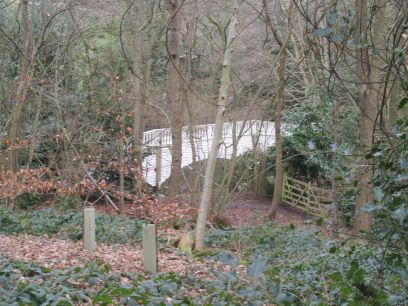
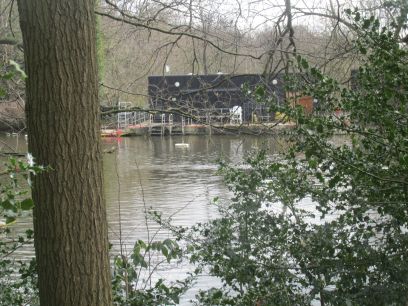
The next section through woods by the side of the ponds had signs saying it was closed due to high winds but there were no barriers and several others were walking through. It was very muddy but fortunately nothing was blocked by fallen trees. This white bridge near the Thousand Pound pond is a sham and actually a facade constructed in the late eighteenth century by the owners of Kenwood House. Next along is the Ladies' Bathing Pond and there were a couple of intrepid swimmers there in what must have been pretty cold water. The infant Fleet flows between each pond but under walkways and the river was mostly not visible.
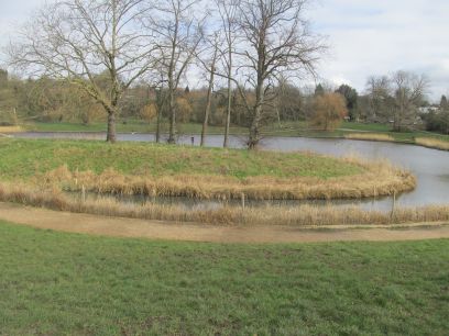
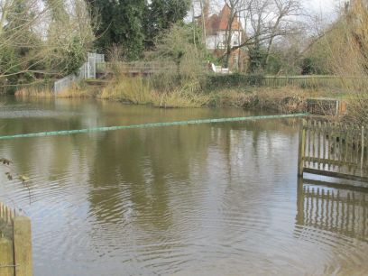
This island on the Model Boating pond is artificial and only completed in 2016. It is specifically closed to public access as a refuge for waterfowl, insects birds and fish. After the Men's Bathing Pool Highgate No 1 pond is reached, the last in the chain, and the small grill can be seen where the Fleet disappears underground.
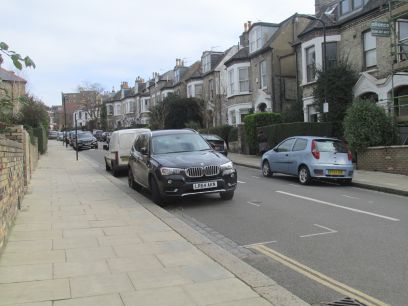
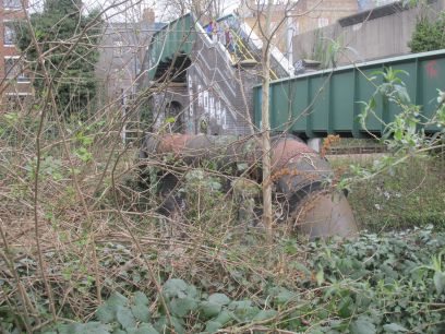
After passing the Dartmouth Park estate, built during the late Victorian era after the river was covered the route goes through more residential streets. In places the crossing streets were seen to be on quite steep slopes showing the river valley. Then the river crosses the railway line close to Gospel Oak overground station in a big somewhat rusty pipe. Because of a high wall it was not visible from the bridge itself but from the adjacent road.
More residental roads which zig zag across the route of the old river. In Castle Road once was the Castle Arms which Admiral Nelson and his uncle William Suckling were rumoured to frequent. I got confused when one of the footpaths on the map was found to be closed so missed locating this. Soon though Quinn's pub was reached which marked the point where the western and eastern arms met and where I rejoined last week's walk.
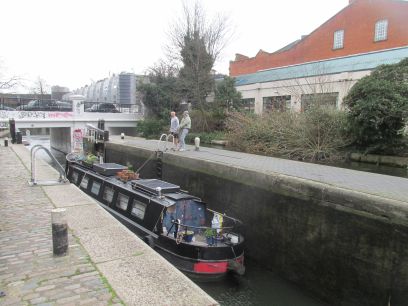
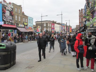
Quickly down to the Regent's canal and along there for another excellent lunch at the Ice Wharf before making my way through Camden Town to the tube station. I always find the area around here fascinating with a great atmosphere and today it was just as busy as normal. Back to Waterloo and home.