

The Jubilee Greenway was set up in 2012 to celebrate the Queen's Diamond Jubilee and coincidently the London Olympics. As such it is 60km in length and passes all the London Olympic venues - or rather it doesn't as it goes nowhere near Wembley and Wimbledon and a long way from Lee Valley. It introduces no new walking paths whatsoever, most of it goes on parts of the Capital Ring and Thames Path and also along the Regent's Canal towpath. I have therefore only recently done much of it so will concentrate on the bits which are new to me.
Yesterday's walk, along the Thames from City Airport to Greenwich.
Weather forecast looked none too good with some light rain at times but much warmer than it had been during the week. In the event there were a few light showers but nothing troubling, but there was a stiff wind that I had not noticed in the forecasts which was not too pleasant. With the SWR strike on anything could happen, but the trains yesterday ran more or less on time - going up train almost deserted but train back was packed out, we seemed to have a non striking real guard who kept us amused with her announcements.
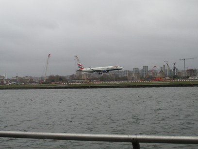
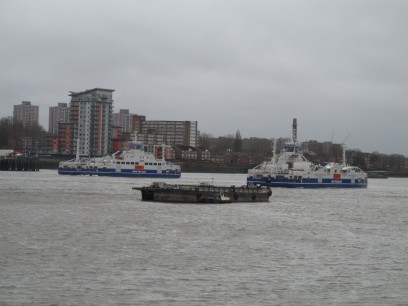
Starting where I had left off last week at London City Airport and the adjacent East London University (lots of students got off our DLR train at Cyprus station). Airport seemed a bit quieter than it was last week but there were a few arrivals and departures. Following the path of the Capital Ring along the Royal Albert dock then across the Sir Steve Redgrave bridge to the other side of it, through a non descript new housing estate to reach the north bank of the Thames where I turned to follow the river back to Woolwich. When I did this section last December the Woolwich ferry was closed for repairs and to introduce their new eco-friendly boats. I soon saw that despite continuing issues it was running fine today with its normal two ferries. I thought I might give it a try so walked along the long slipway with the usual obstacles for pedestrians to find I was too late to board the ferry sitting there, a long line of vehicles was queuing up at the closed barriers, so decided it would be quicker to use the tunnel like last time, so back along that long slipway again to the tunnel entrance. Last time used the tunnel lifts each end. Now I found myself walking down the many steps. Got to the lift at the other end, called it, but the doors refused to open more than an inch, so upwards on the stairs that end as well. I still think I got there long before the ferry I would have caught got there.
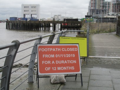
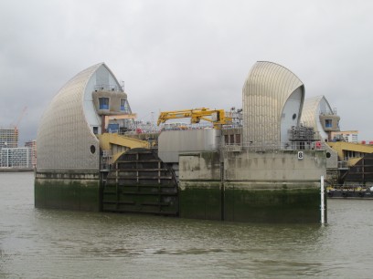
So now along the south bank of the Thames towards central London. The sign for the Capital Ring was still pointing the other way but the Thames Path one was correct. A lot of building work going on in this section but somehow I found my way through various roads in the direction I wanted. The footpath closed sign was on the very path I had just followed and the diversion route on the yellow board was unreadable. It seems though that a lot more of the Thames Path now follows the river than before but there were a few diversions. Eventually (after asking a young lady the right route in an industrial park) I reached the Thames Barrier and could view it close up. The visitor centre and cafe looked totally deserted, clearly off season. A fascinating bit of engineering.
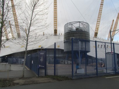
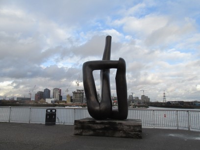
The path now reaches the Greenwich peninsular. When I last walked this section in 1996(!) there was no dome or anything else, but it looked just as dreary as then. There seemed to be a lot of work going on at the O2 with bulldozers and much of it fenced off. Up close it seemed pretty unimpressive. Then another of those weird sculptures like I had seen in Victoria Park. The Emirates Airline cable car loomed up, as far as I could see most of the cars seemed to be empty but guess it must pay.
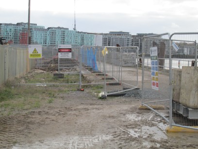
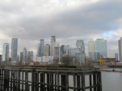
Another stretch of away from river walking through the various industrial areas and more obstructions to us walkers. At first I thought the path was totally blocked off at this point but a lady assured me it was not. So much for thinking I would not come home in muddy boots today. But at least there were some impressive views of Canary Wharf the other side.
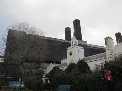
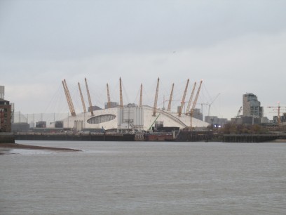
So after a bit of a trudge I reached my goal, Greenwich. Lunch of fish and chips in the Cutty Sark pub, very nice but London prices. Then through Greenwich itself, passing the Greenwich power station. Not sure of its current status, at one time it was a reserve supply for London Transport (and for that matter dates back to the early days of electricity when Sebastian Ferranti built a station here) but I thought TFL relied totally on the National Grid nowadays. And the dome looks far more impressive at this distance. Greenwich also seems to have loads of pubs, passed at least six on my route through.
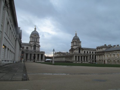
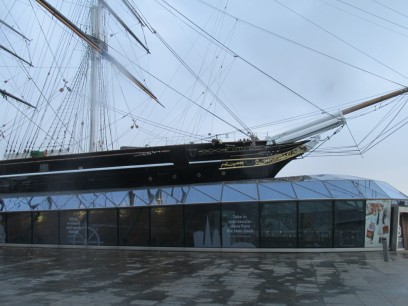
So finally past the Old Royal Naval College and a little further to the Cutty Sark in all its splendour. Maybe somewhere else to visit another time. But my goal was the nearby Cutty Sark DLR station for the trip back to Waterloo. Yet again I got lost in the maze of Bank station and ended up walking between Monument and Bank station above ground, they have done something weird with the signs during their redevelopment work, must avoid next time...