

The Moselle is another of London's hidden rivers, although in this case it was never used as a sewer and parts of it flow above ground. It starts in Queen's Wood in Highgate and flows down to Pymmes Brook and the Lea river in East London. I used an online guide by David Fathers, the author of the London's Hidden Rivers book I had used for my earlier walks. Note the amusing spoof wine label for Chateau Wood Green Riesling, reflecting its counterpart in Germany.
After travelling up to Highgate Tube station on the Northern Line I started the walk in Queen's Wood at the point where the Capital Ring crosses from Highgate Wood.
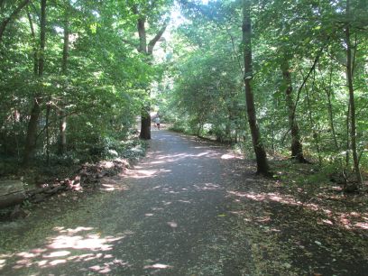
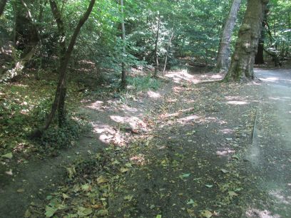
The river forms from several streams and although they are totally dry it is clear to see where they used to flow. I met up with a couple there who knew all about the river and we had a chat.
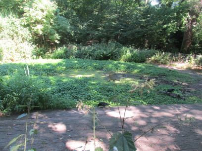
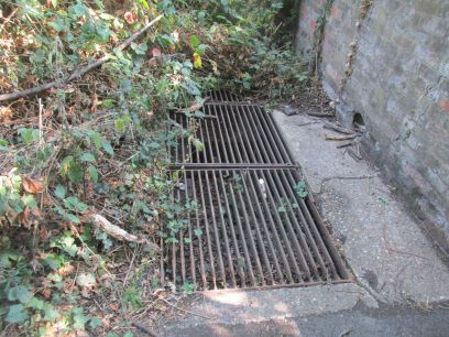
A pond in the centre of the wood was also totally dry. The several tributaries join before going into a conduit at the edge of the wood by the retaining wall.
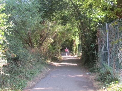
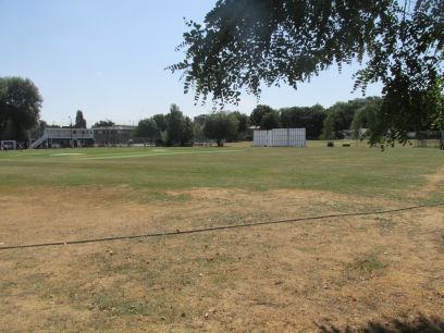
The next part of the walk was through Shepherd's Cot, first woodland with the path following the route of the river then an area of tennis and cricket grounds.
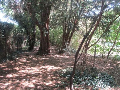
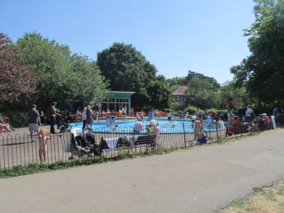
Then after some suburban streets Priory Park is entered. This is in two parts, the first with a paddling pool and various other facilities. The route of the culverted river can be visualised as it runs parallel to the side of the park.
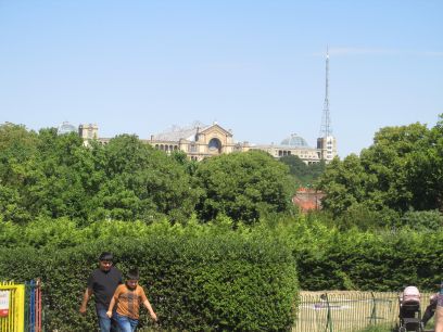
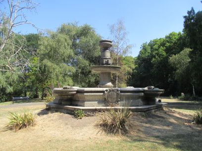
Alexandra Palace dominates the view around here. In the second half of Priory Park is St Paul's Fountain which used to be located at St Paul's Cathedral but was later donated to the then Borough of Hornsey and placed in the park.
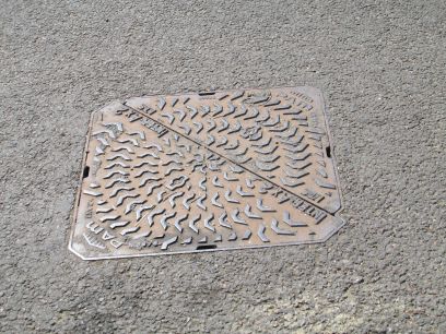
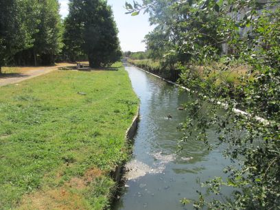
In Rectory Gardens is a manhole cover with the river flowing beneath. I could just about make out the sound of running water. Then after more suburban streets the New River is crossed near the main East Coast railway line.
Shortly after Wood Green town centre is reached where I ended the first half of this walk. I lunched in the Wetherspoons before making my way home via the tube and Waterloo after a pleasant walk.
After a good journey up to London I rejoined my walk at Wood Green station, arriving around 1045am.
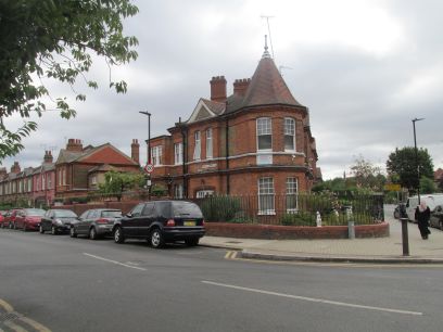
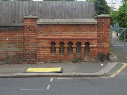
From the centre of Wood Green the route picks up Moselle Avenue with the river flowing parallel to it. A small brick parapet just off the avenue in Vincent Road reminds one of the stream that used to flow under it.
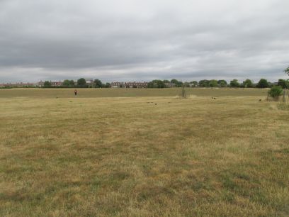
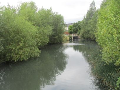
Lordship Recreation Ground and the Moselle emerges from the conduit and becomes visible for a while, first feeding a pond.
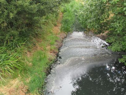
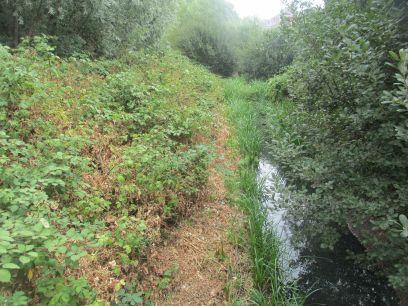
The river has been given a more natural make-over in recent years with grasses and reed beds but in fact is quite overgrown with these in many places. Where the water is visible its quality leaves a lot to be desired.
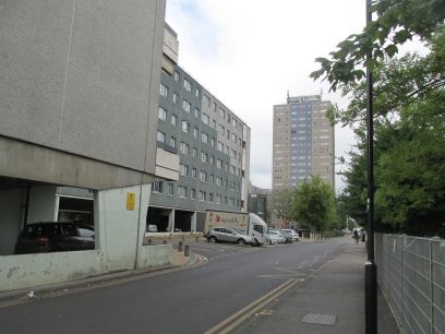
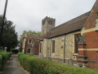
After the recreation ground the river dives into a culvert again into the Broadwater Farm estate. This former farm land was once marshland and flooded regularly and the estate was built on stilts for this reason. The Moselle flows underneath. After a few residential roads All Hallows Church appears which dates from 1150.
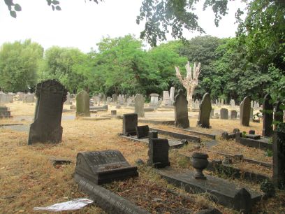
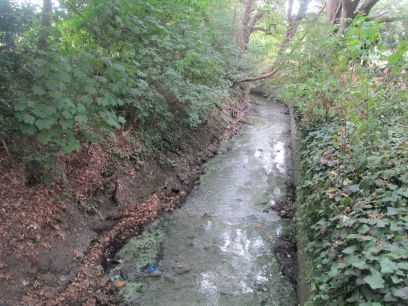
Tottenham Cemetery sees the Moselle surface again through a channel but much of it is not visible due to adjacent vegetation. Notices from Thames Water highlight the ongoing pollution issues with the river and that testing is going on to determine the source and hopefully cure it.
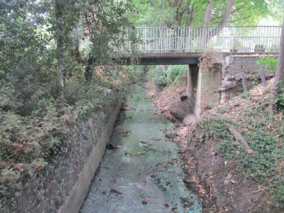
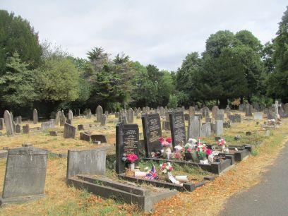
A good view of the river from one of the footbridges in the cemetery. Then at the other end it dives into a culvert again out of sight.
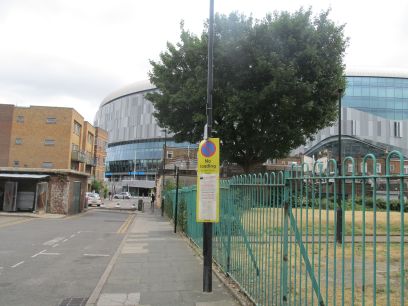
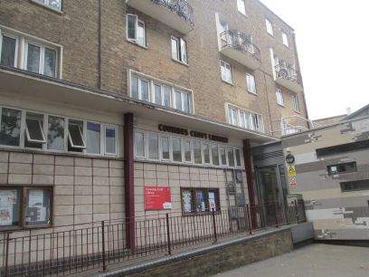
Into White Hart Lane and the new Tottenham Hotspur stadium dominates the view. The Moselle runs beneath Tottenham High Road. According to the guide just inside the foyer of Coombes Croft Library is a glazed portal in the floor through which the Mozelle below can be viewed. But I could see nothing and the lady on reception seemed to know nothing about it, maybe it has gone during its recent modernisation.
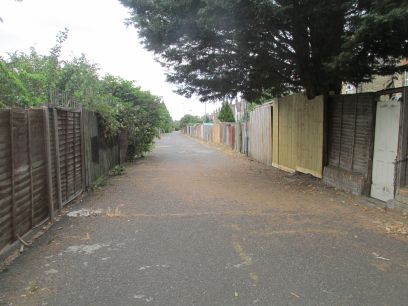
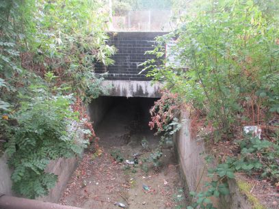
Towards the bottom of Tottenham High Road the Moselle splits, with the main Moselle continuing south while a storm drain called the Carbuncle Ditch runs to the east. The guide followed this route along a walkway called Carbuncle Passage built over the ditch below. At the end the ditch runs under the railway line and there is a short section visible there but with no water.
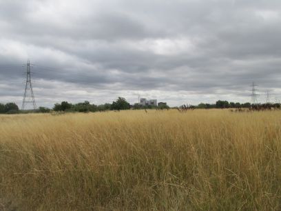
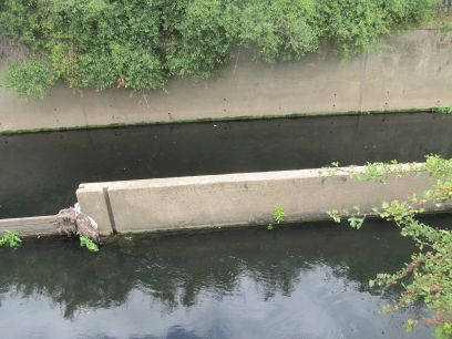
The ditch then flows under Walthamstow Marshes to join Pymmes Brook at the opposite side. A steep bank down to the brook and what may have been the ditch going into the Pymmes was seen, but the exact point is not clear.
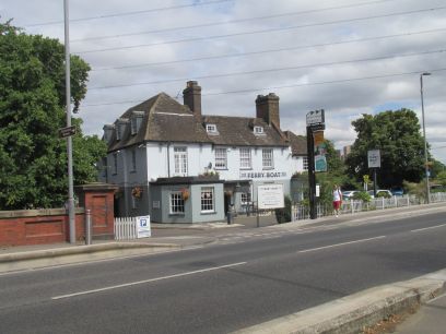
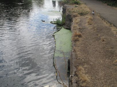
At this point I made my way down Pymmes Brook to Tottenham Lock where I had lunch in the Ferry Boat Inn. I then continued a little down the Lea River to see where the main Moselle joins the Lea.
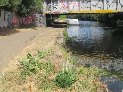
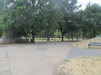
This is by Markfield Park which I had visited while walking the Lea Valley a couple of years ago. This finished my walk so made my way down to Vauxhall on the Victoria line and then back home.