

The route of these hidden rivers is always a bit uncertain and this one is no exception and one of the strangest. It flows in at least three separate channels down from Acton to the Thames near Hammersmith but nobody seems to be sure exactly where. Some authors such as Paul Talling separate out the Bollo Brook and suggest this goes via Chiswick House to discharge near Barnes while the western arm of Stamford Brook is a completely different stream Mill Hill Brook. Who knows, and very few clues appeared on my walk. The only thing we do know for certain is the last few 100m was certainly there as a navigable stream called Hammersmith Creek before being covered around 1929. I followed the western arm with the instructions from David Fathers' London's Hidden Rivers from Park Royal to Hammersmith.
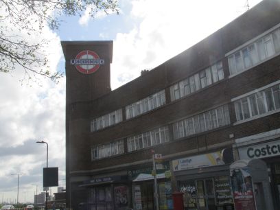
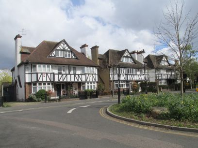
My walk started from Park Royal underground station on the Piccadilly line. This is a relatively recent addition to the line built in 1936 in art deco style. Right next to the busy A40 so hardly the most glorious of places and it seems the brook doesn't even start here but a bit further down, some say as far down as Ealing Common station. The guide also claims that a visible part of the brook can be found near West Acton Underground but there is no public access and it fails to appear on any satellite views so who knows. The walk goes through suburban Acton where the brook flows somewhere below and then through the Hanger Hill Garden estate, a pleasant mock Tudor estate built from 1928 and clearly a desirable place to live.
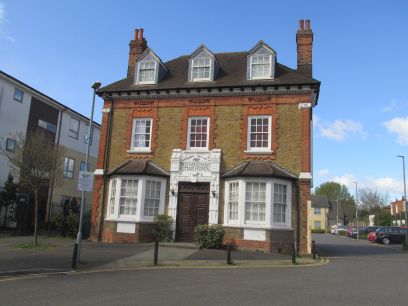
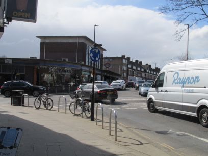
Passmore Edwards Cottage Hospital on Gunnersbury Lane was established in 1898 and the impoverished were admitted free of charge. After being absorbed into the NHS it finally closed in 2001. A little further on Acton Town underground is reached. From here on the Piccadilly and District lines more or less follow the route of the brook, maybe taking advantage of the natural valley, all the way to Hammersmith. The railway features strongly in the rest of the walk, indeed Gunnersbury Triangle, a nature reserve, is surrounded on all three sides by the railway.
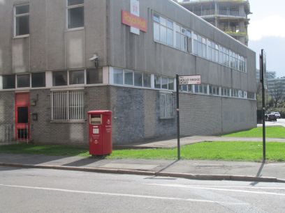
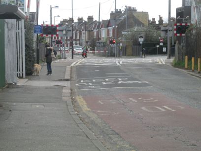
From Acton Town Bollo Lane is reached, clearly named after the brook. Along here was Bollo Bridge over the brook, the only remaining reference being Bollo Bridge Road. A little further on two level crossings on the London Overground where I had to wait five minutes or so while a couple of trains passed.
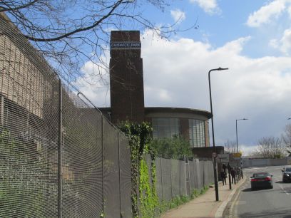
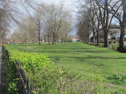
Near Chiswick Park underground a water supply was taken from the brook for Chiswick House when it was built in 1729. Some books suggest in fact the brook continues south at this point down to the Thames near Barnes. We follow the alternative route eastwards past Turnham Green. I diverted through the pleasant Acton Common rather than following the suggested route along the main road. The Battle of Turnham Green was fought near here in 1642 during the English Civil War.
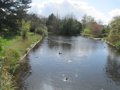
Near Stamford Brook Common the middle and eastern arms of the brook join with the Bollo. Stamford Brook underground is nearby but not passed on the walk or by the brook. The combined stream then passes through Ravenscourt Park where there is a large lake originally fed from the brook, quite a pleasant area.
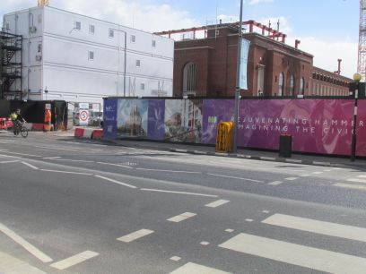
Reaching King Street in Hammersmith I broke for lunch in the nearby Wetherspoons. I had planned to follow the route down to the river but found Nigel Playfair Avenue, named after the actor, was blocked off by a large building site so abandoned the walk here and returned to Ravenscourt Park underground and the tube back to Richmond. Another pleasant day.