

The 52 mile Green Chain Walk, London's first long distance footpath, opened in 1977. The network links together the open spaces in the great arc of protected, undeveloped land with a total area of 4,500 acres, that sweeps around South East London from Crystal Palace to the Thames at Erith and Thamesmead. I followed the maps and guidance from the Inner London Ramblers website. Although I have walked parts before this is my project for 2024.
Because the Green Chain is made up of quite a few shortish sections together with sub sections it makes sense to combine them. I this case section 4a combined with section 6 makes a convenient six mile day's walk. After a few rainy days earlier in the week today was a superb spring day and I set off for what turned out to be a very enjoyable walk. Much of these two sections follows the route of the Capital Ring.
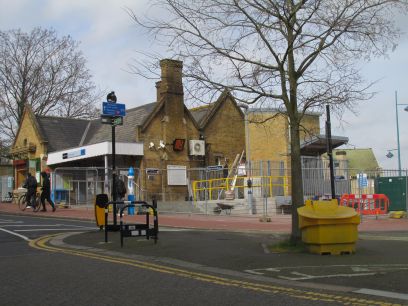
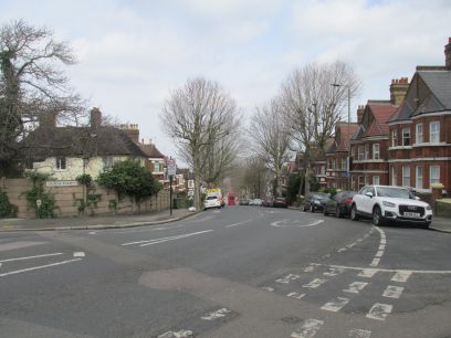
Plumstead Station is the suggested start point so I arrived there just before 11am and followed the waymarked route to the start of the section. This was up a very steep incline which seemed to go on for ever.
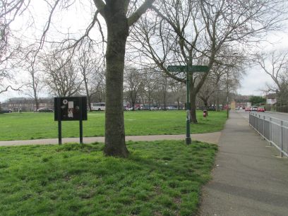
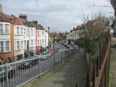
The start of section 4a is on Plumstead Common which I had visited on previous legs. After another short section of still ascending suburban streets I turned off into Upton Road up a ramp.
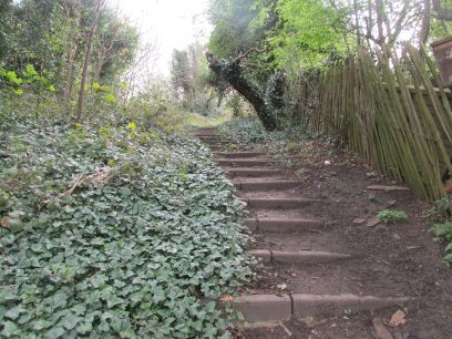
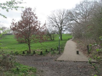
Then it all suddenly changes. Up a flight of steps and into rural woodland until it breaks out into the open at Shrewsbury Park. This was once part of the Earl of Shrewsbury's estate and has been open to the public since 1929.
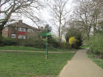
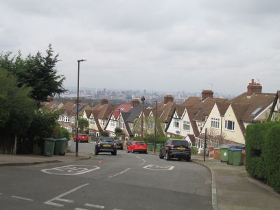
The park is extensive. At the far side I took a recommended diversion to the side streets and was rewarded with a superb view of London.
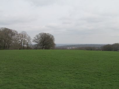
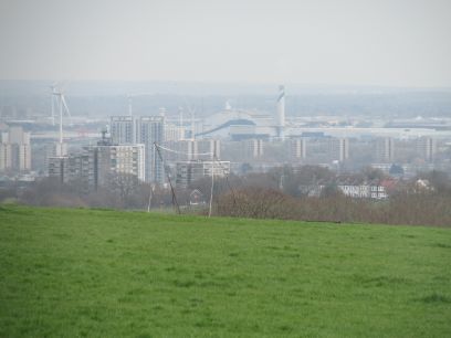
Across the park more great views of the capital.
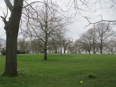
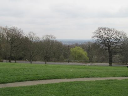
Leaving the park there is another stretch of suburban walking through the pleasant Shrewsbury Park Conservation Area. Then into a small park at the top of Shooters Hill which also offered great views.
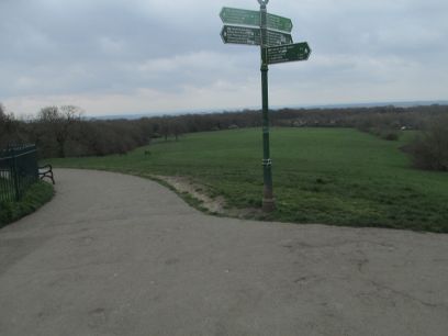
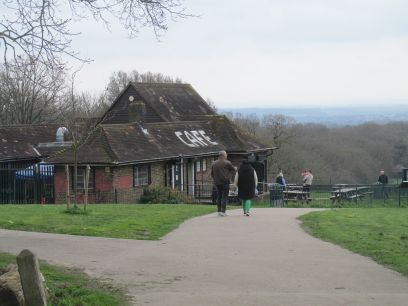
Out of the park and having crossed the busy Shooters Hill road Crown Wood Lane took me into Oxleas Wood and after a short walk through the woods I emerged at Oxleas Meadow. I decided to lunch here at the cafe with their shepherds pie and a cuppa.
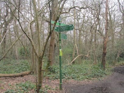
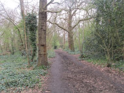
After lunch I made my way to the start of section 6 which involved a short walk through the woods along the route of section 2, including the section we had previously omitted on that stage.
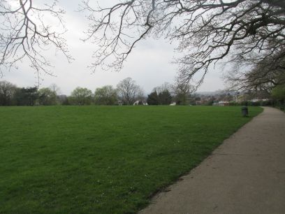
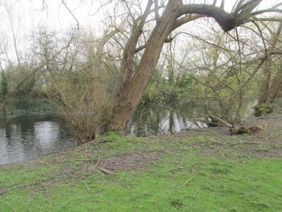
Through Shepherdleas Wood and onto Eltham Park North which has a large long pond.
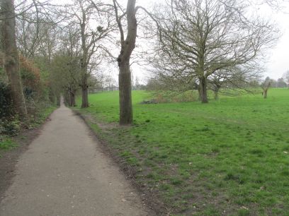
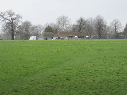
Across the busy A2 via a footbridge and into Eltham Park South, which is large and has a cafe in the far corner.
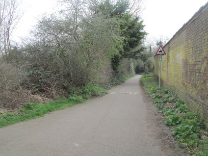
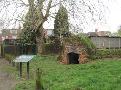
A bit more road walking took me into the quiet Butterfly Lane which eventually reaches Eltham village and the ruins of the conduit head which formerly supplied water to Eltham Palace.
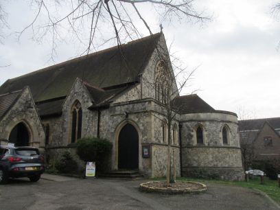
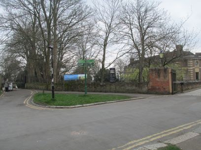
Holy Trinity Eltham and then Eltham Palace are passed.
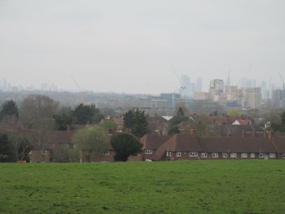
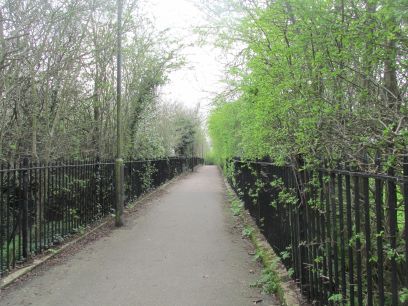
King John's walk runs alongside the Palace grounds and offers great views again towards the capital. The guide suggested an alternative path through the meadow on the right hand side but that looked decidedly muddy.
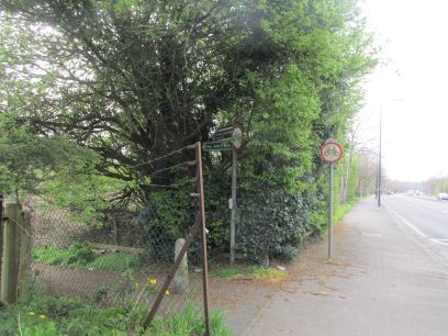
King John's walk eventually emerges by the railway line, crossed with a footbridge, then the busy Sidcup Road. I followed King John's walk the other side but not right to the end of the section, I will cover that on the next sections. Along Sidcup Road to Mottingham station where I caught a train back to Waterloo East and home.