

The Green Link Walk is the latest of the London walks from TFL and is 15 miles long running from Walthamstow down to Peckham in four sections. It differs from the other walks in that it is designed to be inclusive, walkable by anybody including wheelchair users, prams and buggies. As such it tries to keep to firm footpaths and avoids bridges and stiles. So although it is called a green walk it avoids most of the parks and woodlands that give the rest of the walks their attraction.
I used the guidance from Inner London Ramblers which I found fairly comprehensive. Their guides also offer a few alternative routes to nearby places of interest. At least for the moment I followed the official route throughout.
Since section 3 is just 2.5 miles through the city of London I decided to combine it with section 4, 4 miles, to make it a sensible day's walk. Two sections of contrasts, both with small parks which the official route passes by which I explored to give it a bit more greenery.
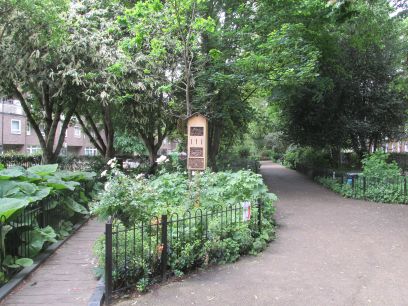
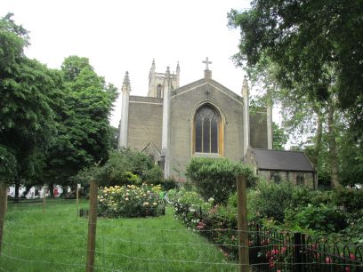
So arriving at Angel tube station at around 10.30am I made my way down towards the Regents Canal. An initial small diversion through Duncan Terrace Gardens, once the route of the New River, now an attractive park with its own Friends group who seeks to protect the woodland habit. A little further on St Mark's churchyard.
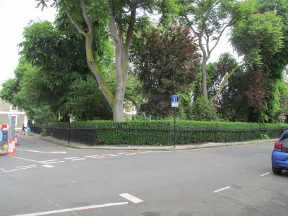
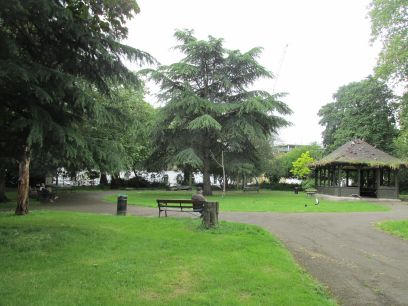
A little bit of road walking brought me to Lloyd Square, part of the Lloyd Baker estate with period houses and a central garden which was not accessible. Next Wilmington Square with a pleasant central garden.
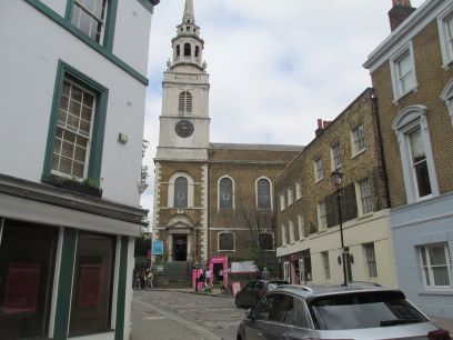
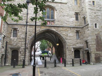
More road walking then into Clerkenwell. Here it was Clerkenwell Design Week and everywhere there were tents set up and pink markers on the pavement showing the route. Even St James church had been taken over for the event. It was quite a bustle. The arch takes me out of Clerkenwell and past the Museum of the Order of St John.
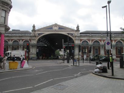
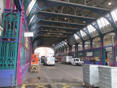
Shortly afterwards Smithfield Market is reached and the route goes through the Grand Avenue. This part of Smithfield is still a meat market, another building will become the Museum of London in 2026.
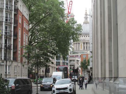
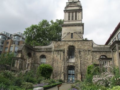
A long stretch along Little Britain and the busy King Edward Street brought me to St Paul's Cathedral. The garden of the bombed out Christchurch Greyfriars church.
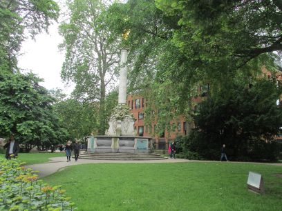
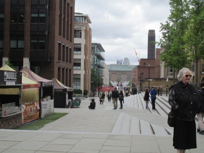
The route continues through the gardens of St Paul's Cathedral then towards the Millenium Bridge.
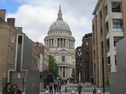
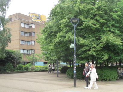
A view of the Cathedral then across the bridge and along to the end of Tate Modern where this section ends. I decided to stop for lunch at the nearby Founders Arms.
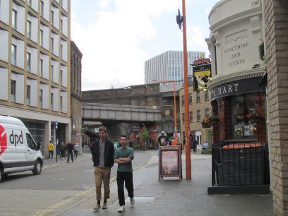
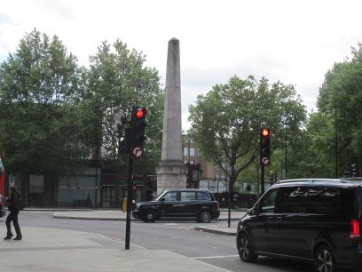
Setting off after lunch I started along the gardens of Tate Modern but then descended into the back streets of Southwark, land of railway arches and industry, then along Blackfriars Road to St George's Circus with an obelisk marking its construction in 1771 as the southern entrance to the City of London.
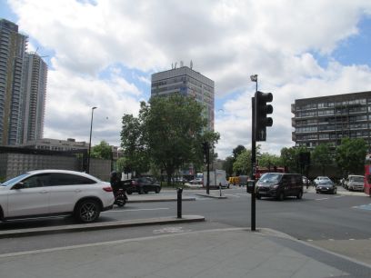
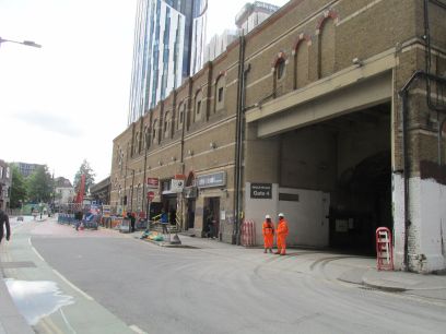
Then down Keyworth Street through the campus of South Bank University towards Elephant and Castle where the huge gyratory roundabout has to be negotiated. Then opposite Elephant and Castle station the route turns off into something a bit quieter.
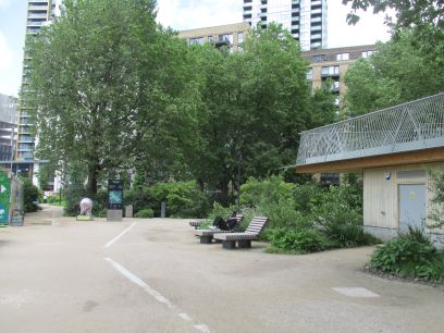
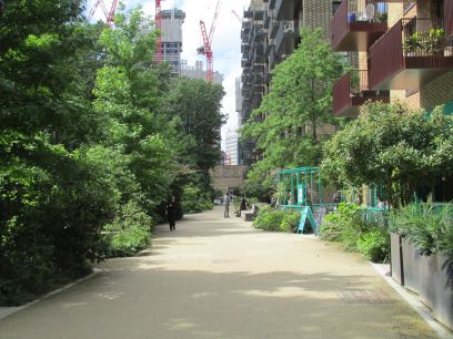
Elephant Park, the first bit of greenery for some time, a new development around the Heygate estate. Much building is going on here and I found the exit from the park closed because a huge crane was planted there. First diversion around the side streets.
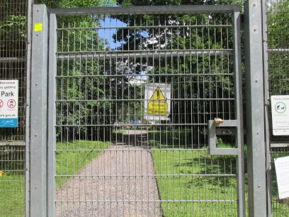
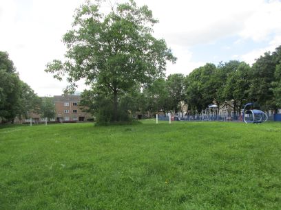
The adjacent Victory Community Park was closed for redevelopment so I had to follow the official route along the road. After more and more estate houses Salisbury Row Park is reached.
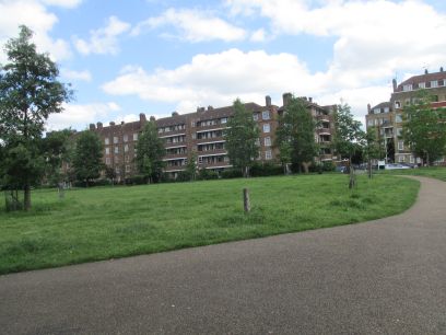
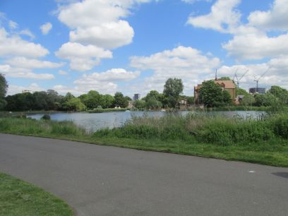
Then a confusing sequence of estate roads to eventually reach Surrey Square Park. All these Heygate estate parks looked pretty similar. But not very many more roads until the big one is reached, Burgess Park with its large lake and real countryside.
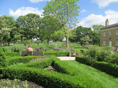
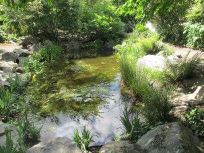
I took the recommended diversion inside the park to visit Chumleigh Gardens, established in 1995 in the grounds of former almshouses. Mediterranean, Islamic, Oriental, African and English gardens are featured side by side and it was quite a nice area.
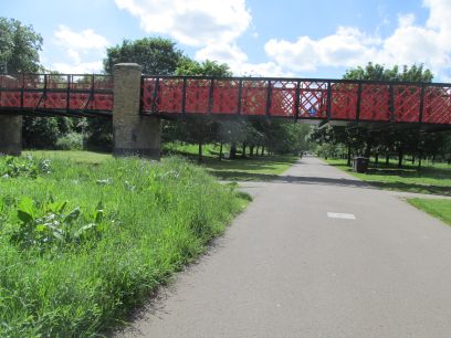
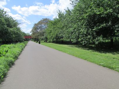
A circular tour of Burgess Park took me past the bridge to nowhere, a former bridge over the old Grand Surrey Canal which has been left intact.
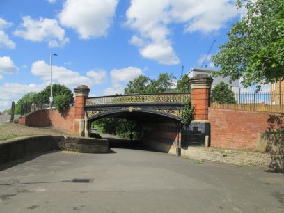
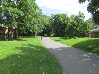
Leaving the park the Green Link now follows the route of the former Peckham branch of the canal which has been converted into a footpath and cycleway and quite pleasant. But being fairly narrow I had to frequently give way to fast cyclists. The route passes two original canal road bridges.
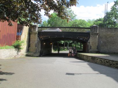
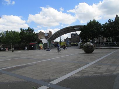
The second of the two bridges. Then section 4 comes to a sudden end in Peckham Square by the library and next to Peckham High Street. From here I made my way down the busy Rye Lane to Peckham Rye station where I caught the train back to Clapham Junction and then home.
Parts of the Green Link Walk were interesting, particularly Walthamstow Marshes and Burgess Park, but it was let down with much of it being through featureless London Streets. Maybe the requirement to make it accessible to all has gone a little too far, if they want to get people out walking they should at least take them walking in interesting places.